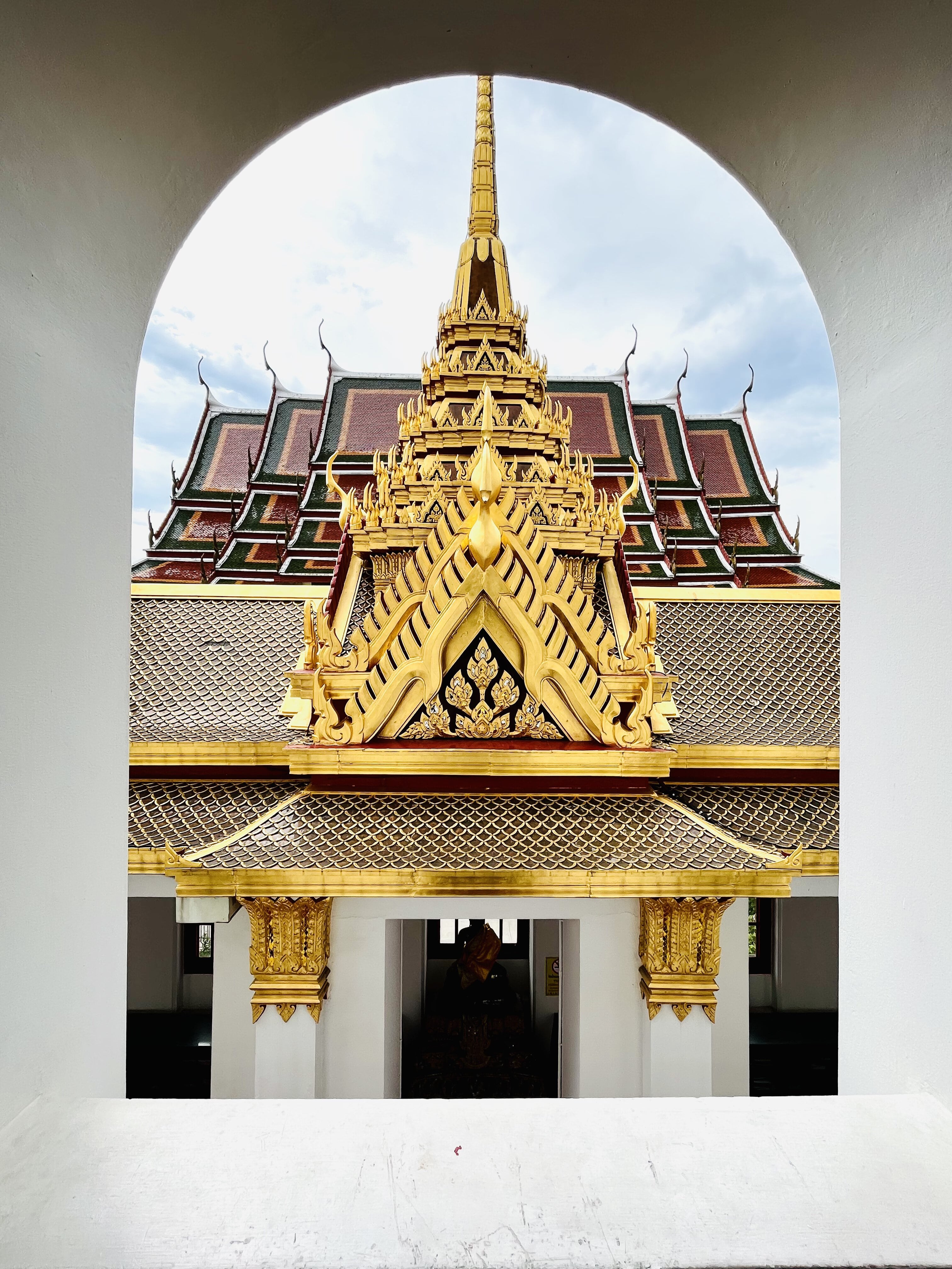
Bangkok, or by its official title, Krung Thep, is the average Singaporean’s mecca for shopping, eating, massages and merry-making of the debauchery kind. This bustling, high-energy metropolis of around 14 million sits at the mouth of the iconic Chao Praya river, itself a life-giving artery which is heavily laden with traffic as any one of Bangkok’s congested roads.

This is a city forged by much internal strife in the early years under the rule of a long lineage of Kings, which now experiences periods of relative peace interspersed with the occasional military coup, demonstration and violence, where Yellow and Red are symbolic colours representing the different factions in society.

It is also a city in contrast: towering skyscrapers of office blocks and gigantic, modern shopping malls sit alongside filthy canals zigzagging through shanty towns with dilapidated zinc roofs.

It is the latter that we wish to explore, the hidden gems and undiscovered treasures, before the rapid pace of modernisation and commercialisation consumes these areas. The tourist route of the former, comprising the newest shopping malls and tourist markets, have been thoroughly covered in other travel blogs, and therefore what remains is to explore the forgotten communities and places by taking the “soi” less travelled.

The itinerary for this weekend’s visit is a trek across the old city of Thonburi on Day 1, nosing around the canals of Rattanakosin Island on Day 2, and wandering the streets and museums of Phra Nakhon and Chinatown on the last day.

Arming ourselves with the wonderfully informative book titled “22 Walks in Bangkok” by Kenneth Barrett, we wanted to avoid the crowded and popular tourist attractions, and instead explore the hidden side of Bangkok, a fitting tribute to this city’s rich tapestry of interwoven cultures, traditions and heritage.

So click on relevant posts to read up on our adventures!
The Old City of Thonburi
Walk 1 – From IconSiam to Wat Arun
Walk 2 – From Wat Arun to Siriraj Hospital
Walk 3 – Within Thonburi (coming in 2026)
The Canals of Rattanakosin Island
Walk 1 – From Dinso Road to Wat Saket
Walk 2 – From Wat Saket to the National Museum (coming in 2025)
Walk 3 – From National Museum to Pat Klong Talat (coming in 2026)
Chinatown and Around
Walk 1 – Yaowarat Road (coming in 2026)
Walk 2 – Around Talat Noi (coming in 2025)
Walk 3 – Bangrak to Talat Noi (coming in 2025)
Lumphini Park
Victory Monument
Getting into Bangkok
There are two main gateways into Bangkok by airplane – the swanky new glass-and-concrete airport east of the city at Suvarnabhumi, and the dated and cramped airport at Don Mueang, situated north of the city. Both have good rail and road links into Bangkok city itself, and are well served by public bus, taxies and railways. While buses are usually very cheap but painfully slow, and taxies are expensive and may overcharge, taking the train seems like the most reasonable option. This section provides more details on how you can make the best use of Bangkok’s fast and efficient rail links.
From Suvarnabhumi, take the escalators down to level B1 and follow signs for “Airport Rail Link” or City Line. The airport is a terminus station, and the usual connections are to Makkasan (to change to the Blue MRT Line – handy to go to Chinatown) or Phaya Thai (to change to the Bangkok Sky Train’s (or BTS) Sukhumvit Line – handy for the city centre’s shopping and hotel districts) at the other end of the line.

The fee and travel time is 35฿ (15 – 20 minutes) to Makkasan and 45฿ to Phaya Thai (20 – 25 minutes). Ticket machines are available before the fare gates, and accept cash or card. The machines churn out a plastic round token that you tap upon passing the entrance fare gate, and drop into a coin slot at your exit fare gate. Trains are spacious and clean, and fill up with locals fast at the intermediate stations, but my only complain is the very weird and short seating benches in the cabins.

Don Mueang is a little harder to get to, I’ll be frank. From the international terminal, you’d need to walk pass the length of the domestic terminal first before reaching a small corridor past the food court to a skybridge that links to the SRT Red Line (State Railway of Thailand). From there, take the Red Line from Don Mueang to Bang Sue Grand Station (7 stops).

It takes around 18 minutes and cost 20฿, hence their slogan – to the Airport under 20 minutes at 20฿. From Bang Sue Grand Station, its a short underpass walk (with air-conditioned) to the Bang Sue MRT Blue Line, which then connects handily to locations near Chinatown, Chatuchak and Asoke (for the Sukhumvit BTS Line).

For one or two persons, taking either one of the rail links is really a cost-saver, compared to a taxi.
Consider this: for our most recent trip to Bangkok where we stayed near IconSiam, we arrived in Bangkok from Suvarnabhumi and took an airport rail link to Phaya Thai, changed to the Sukhumvit Line to Siam Central, and then the Silom Line to Krung Thonburi. This cost us 92฿ and took us around 45 minutes, whereas a taxi would have cost at least 350฿.
When we left our hotel near IconSiam to Don Mueang airport, we took the Gold Line to Krung Thonburi, changed to the Silom Line to Siam Central, to the Sukhumvit Line to Mo Chit, then to the MRT Blue Line from Chatuchak Park to Bang Sue and finally to the SRT Red Line from Bang Sue Grand to Don Mueang. This involved the change of 5 separate lines, from the BTS Skytrain, to the MRT, to the SRT. It took us 1 hour 30 minutes exactly (but allowing for some luck in being able to board the train immediately without much of a wait at the station) and cost each person 103฿. By contrast, a Grab would have cost 458฿ at its lowest (around mid-afternoon) and would take around 1 hour 10 minutes.
